
Strengthening laboratory capacities for Vector-Borne Disease surveillance in North Africa: two rounds of PROVNA2 training completed in Teramo
November 21, 2025
Read more
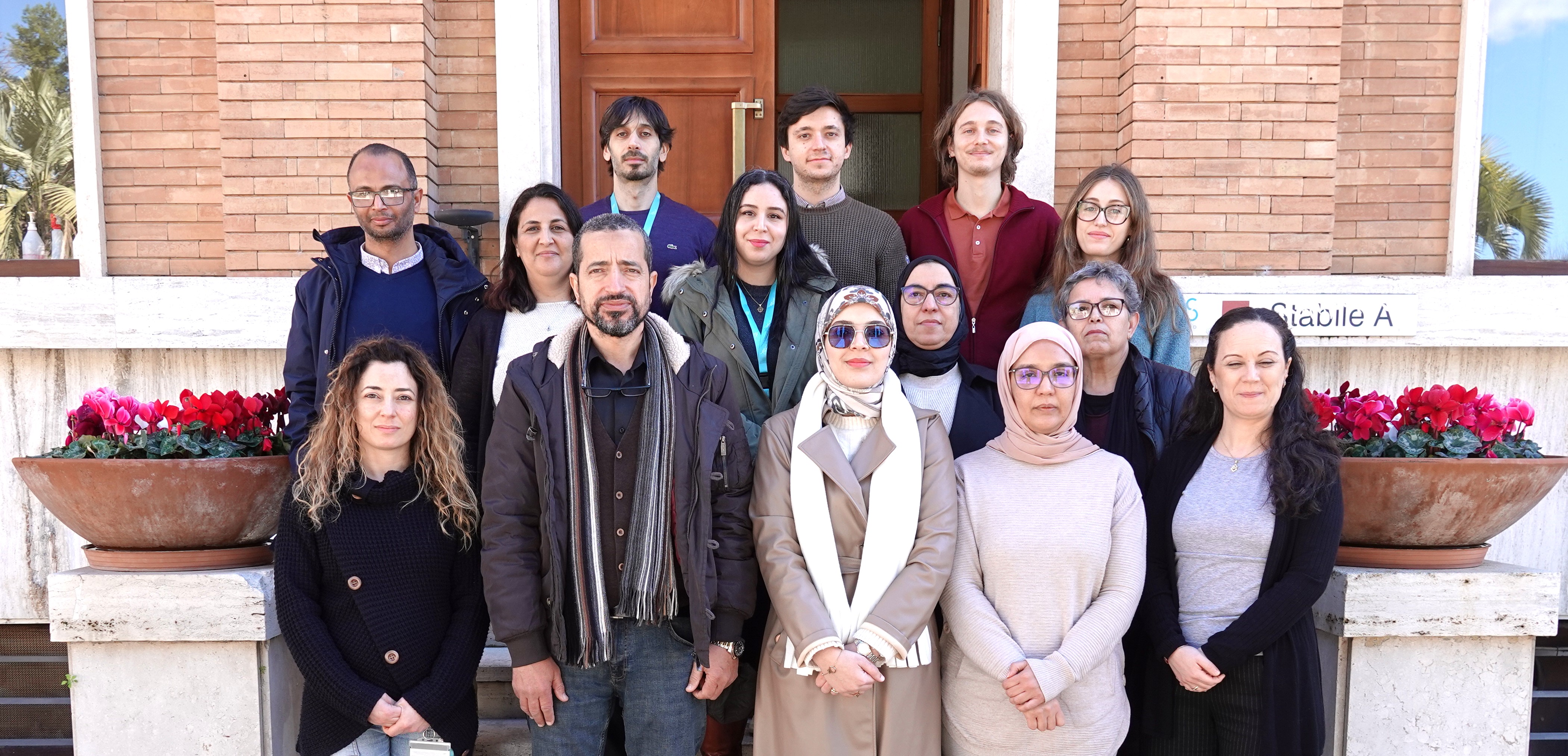
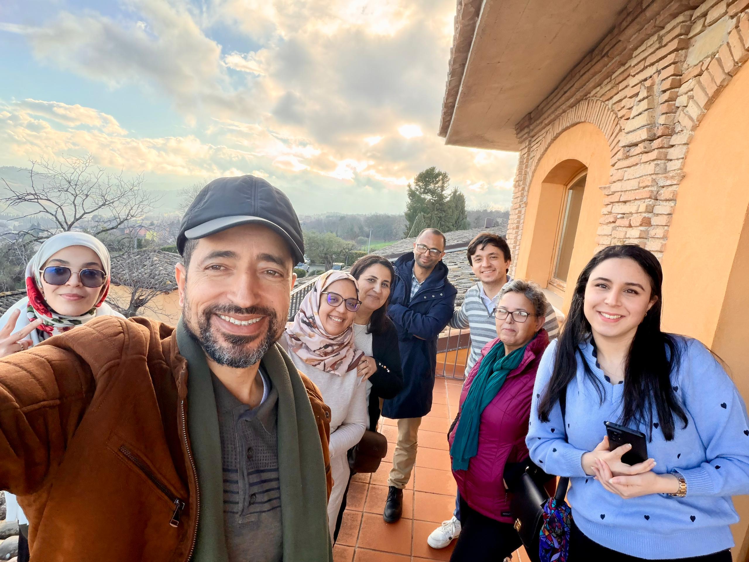
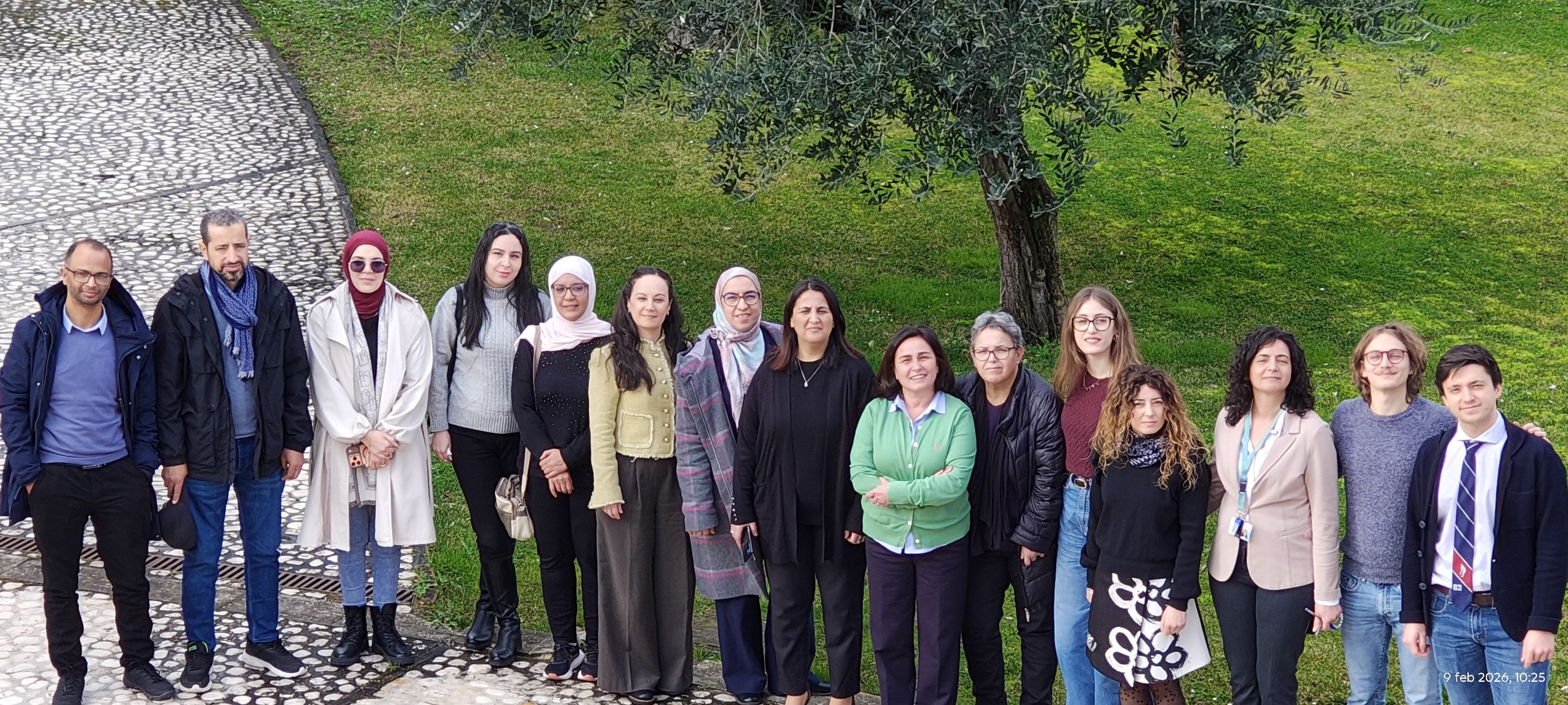
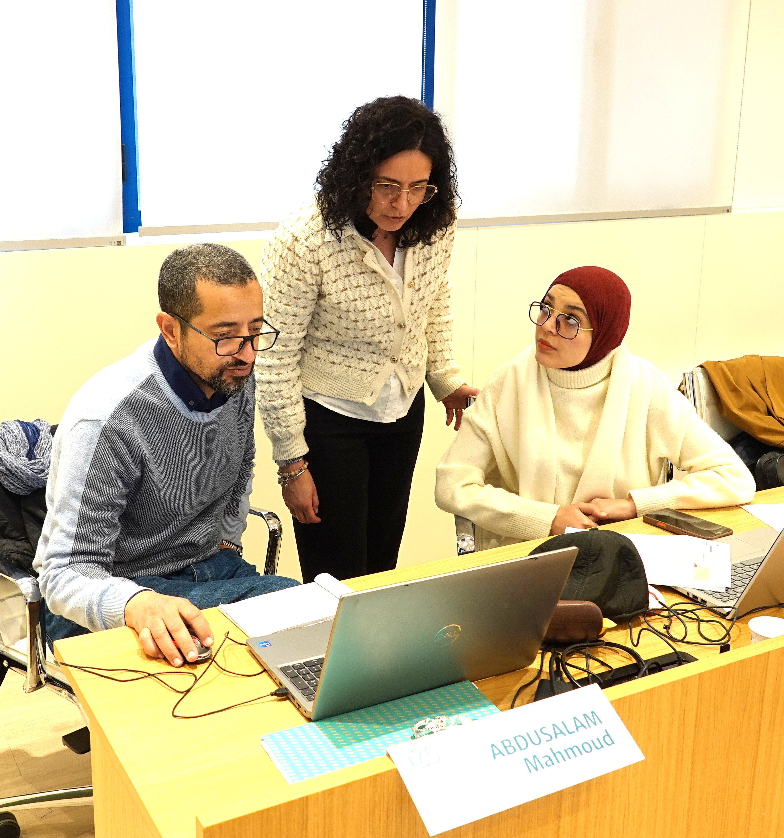
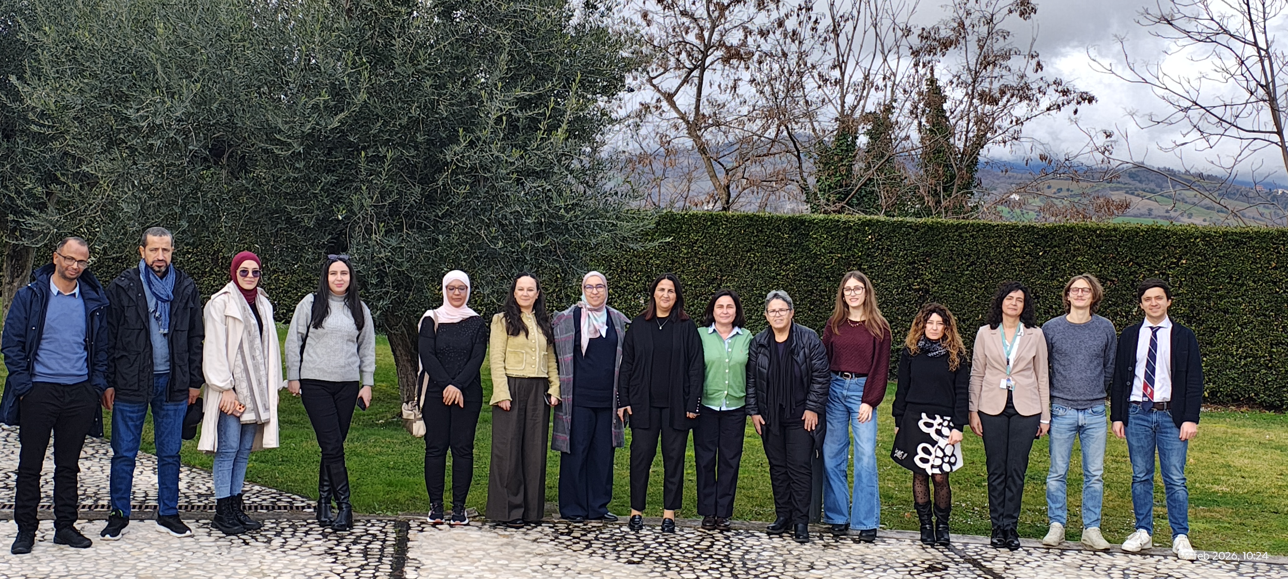
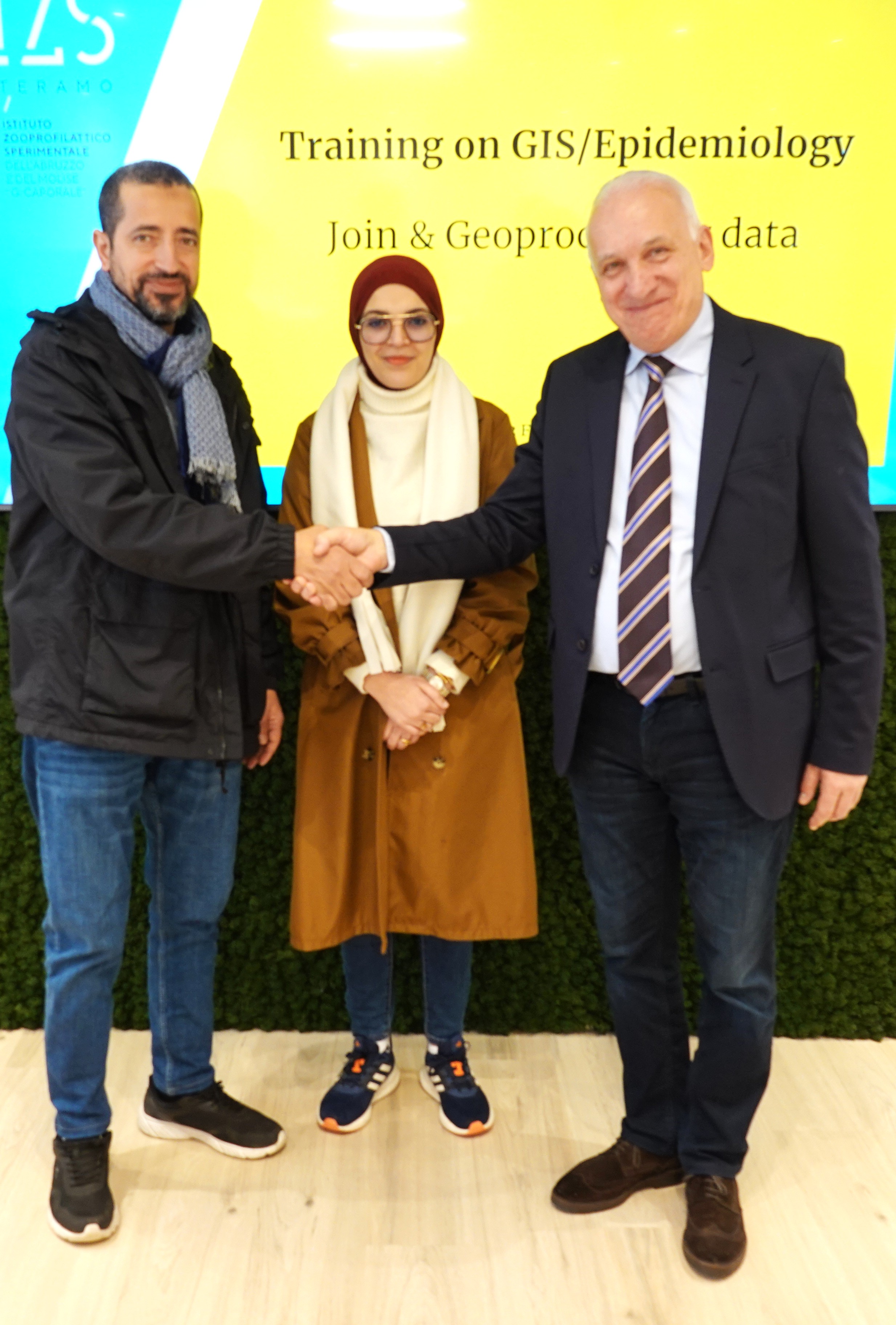
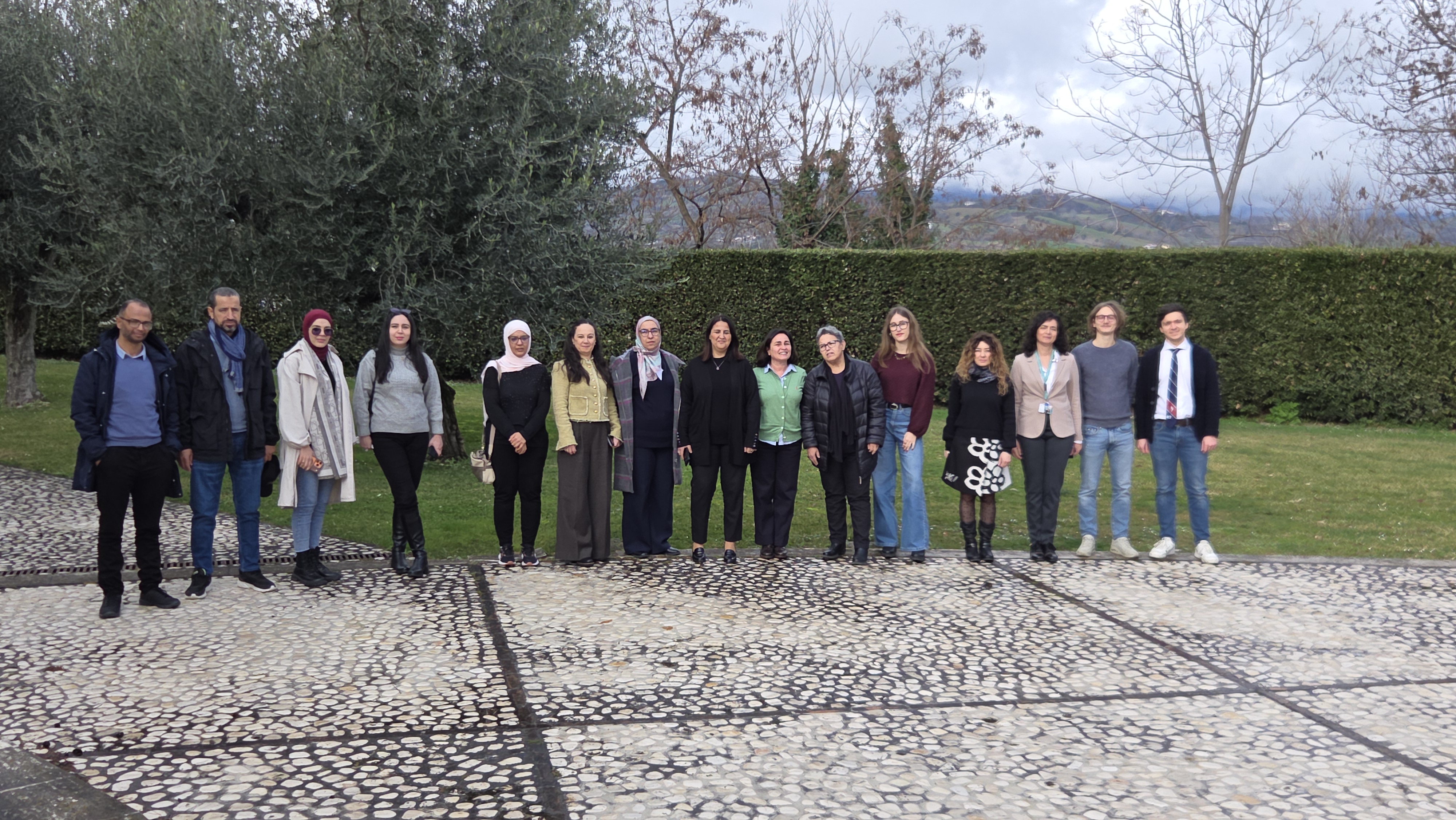
From 9 to 13 February 2026, epidemiologists and technical experts from Algeria, Libya, Mauritania, Morocco and Tunisia gathered in Teramo, Italy, for a five-day intensive training on Geographic Information Systems (GIS) and veterinary epidemiology under the PROVNA2 project.
Organised by the World Organisation for Animal Health in collaboration with the Istituto Zooprofilattico Sperimentale dell’Abruzzo e del Molise (IZS Teramo), the workshop represents a central milestone of Phase 2 of PROVNA, which aims to operationalise a regional risk-based surveillance system for mosquito-borne diseases in North Africa.
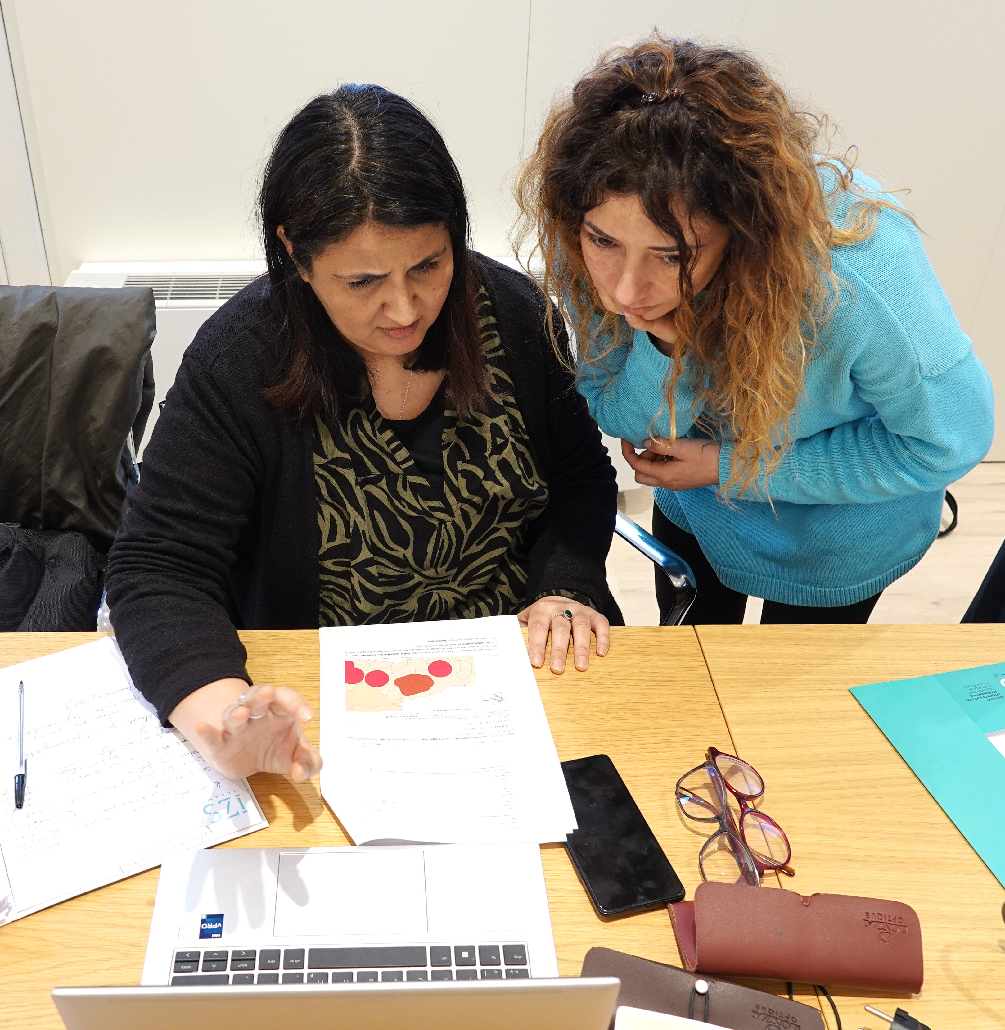
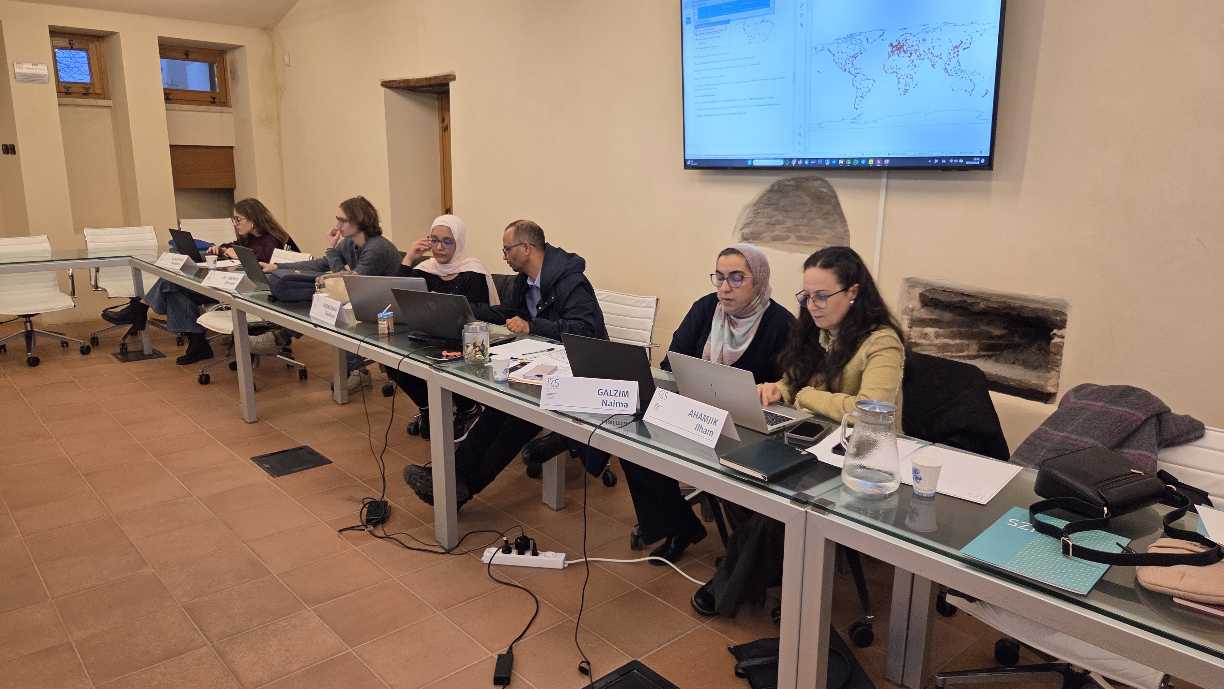
The training responds directly to Members’ request to strengthen national capacities in veterinary epidemiology through the effective use of geospatial tools. The PROVNA platform is grounded in GIS-based analyses that support surveillance, risk assessment and strategic planning. Its effective implementation therefore requires a shared operational understanding of QGIS and spatial epidemiological methods.
In his opening remarks, the WOAH Sub-Regional Representative for North Africa highlighted the strategic importance of the training:
“The training you are starting today represents a central milestone of Phase 2. The PROVNA platform is based on spatial analyses that support surveillance, risk assessment and strategic planning. Our objective is to provide you with practical and operational tools that you can concretely integrate into your national activity plans.”
He further emphasised that beyond individual skills development, the training aims to strengthen national “training-of-trainers” capacities and promote regional alignment in the collection, analysis and use of epidemiological data, a key prerequisite for effective modelling and risk-based surveillance.
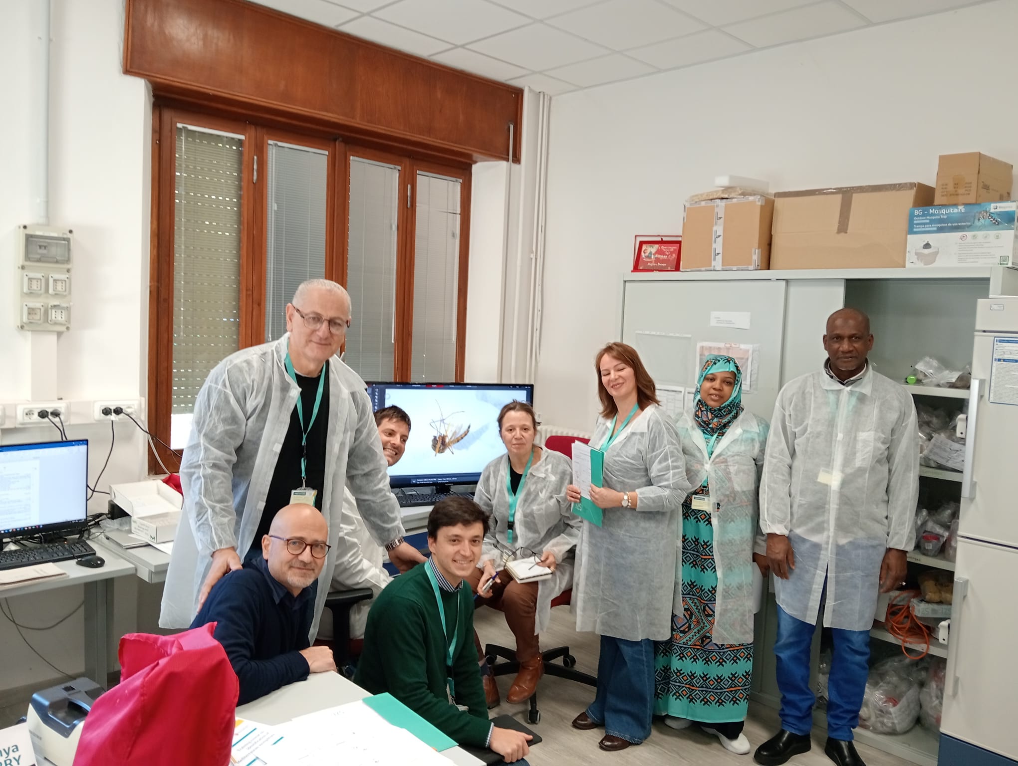
Following the virology and entomology practical trainings organised in November 2025, this session consolidates the technical pillar of Phase 2 and reinforces regional cooperation among participating countries.
Dr. Rachid Bouguedour, WOAH Sub-Regional Representative for North Africa
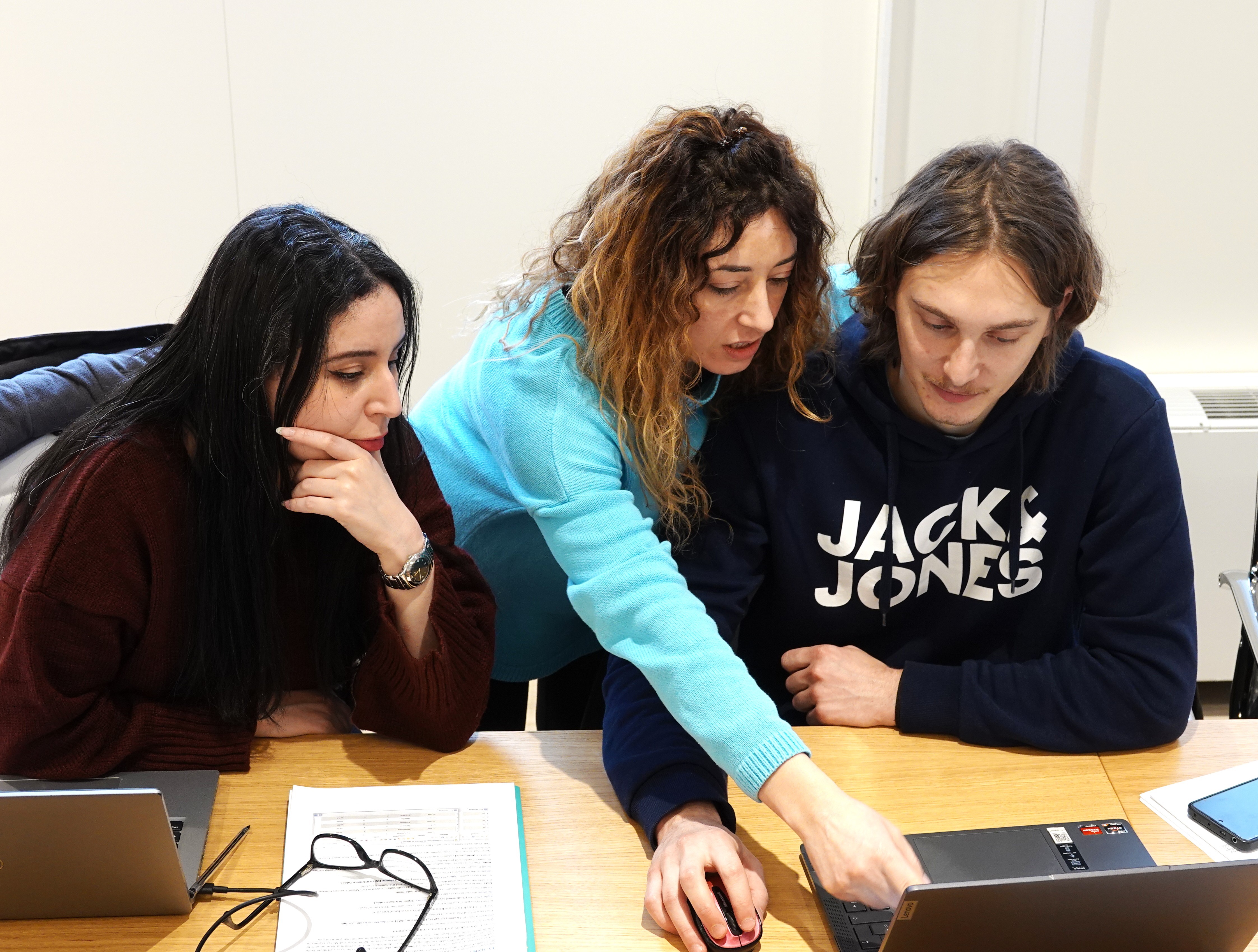
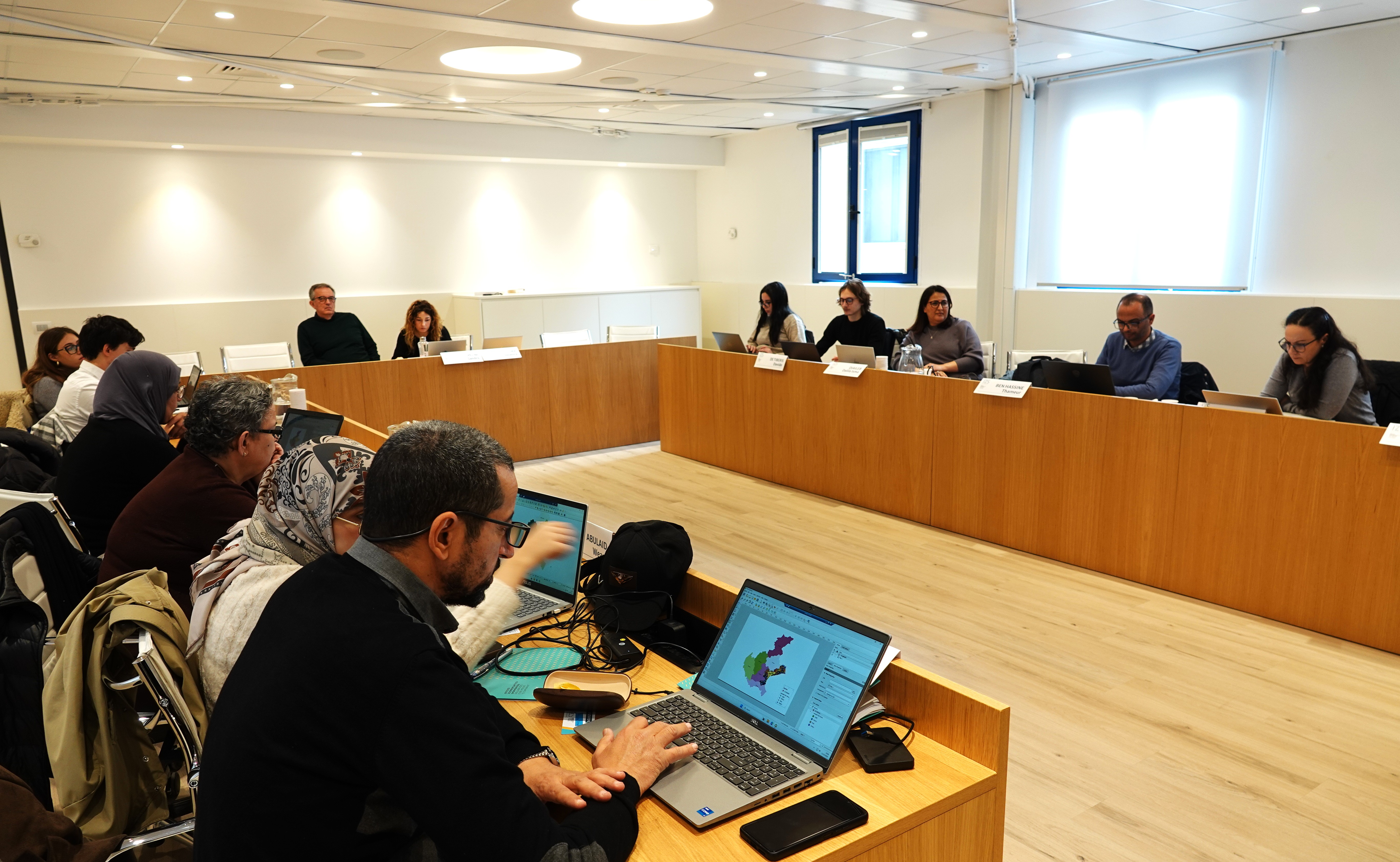
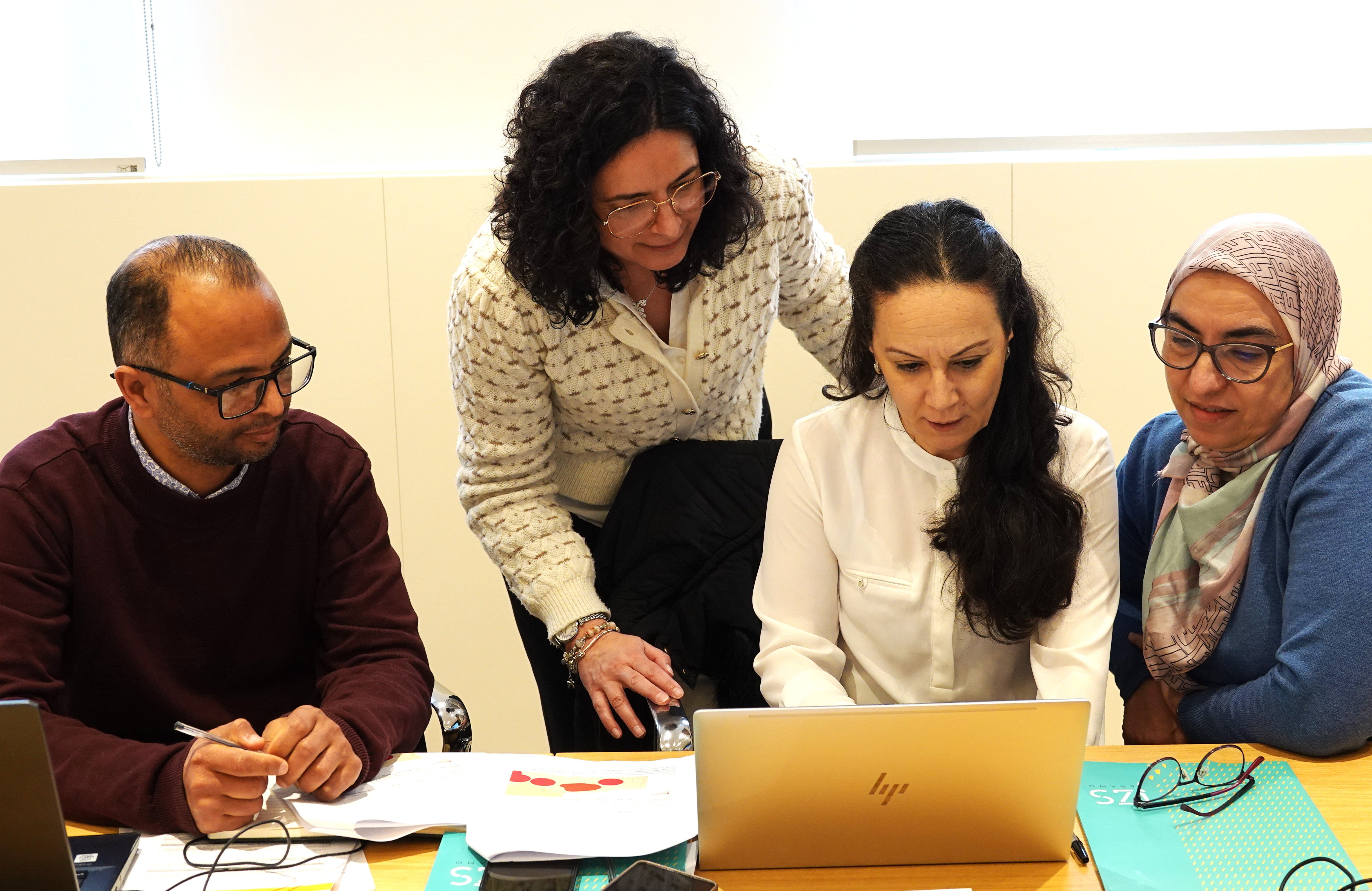
The programme was structured around “thematic days”, combining foundational theory with hands-on exercises, progressively deepening participants’ understanding of GIS workflows and spatial data management.
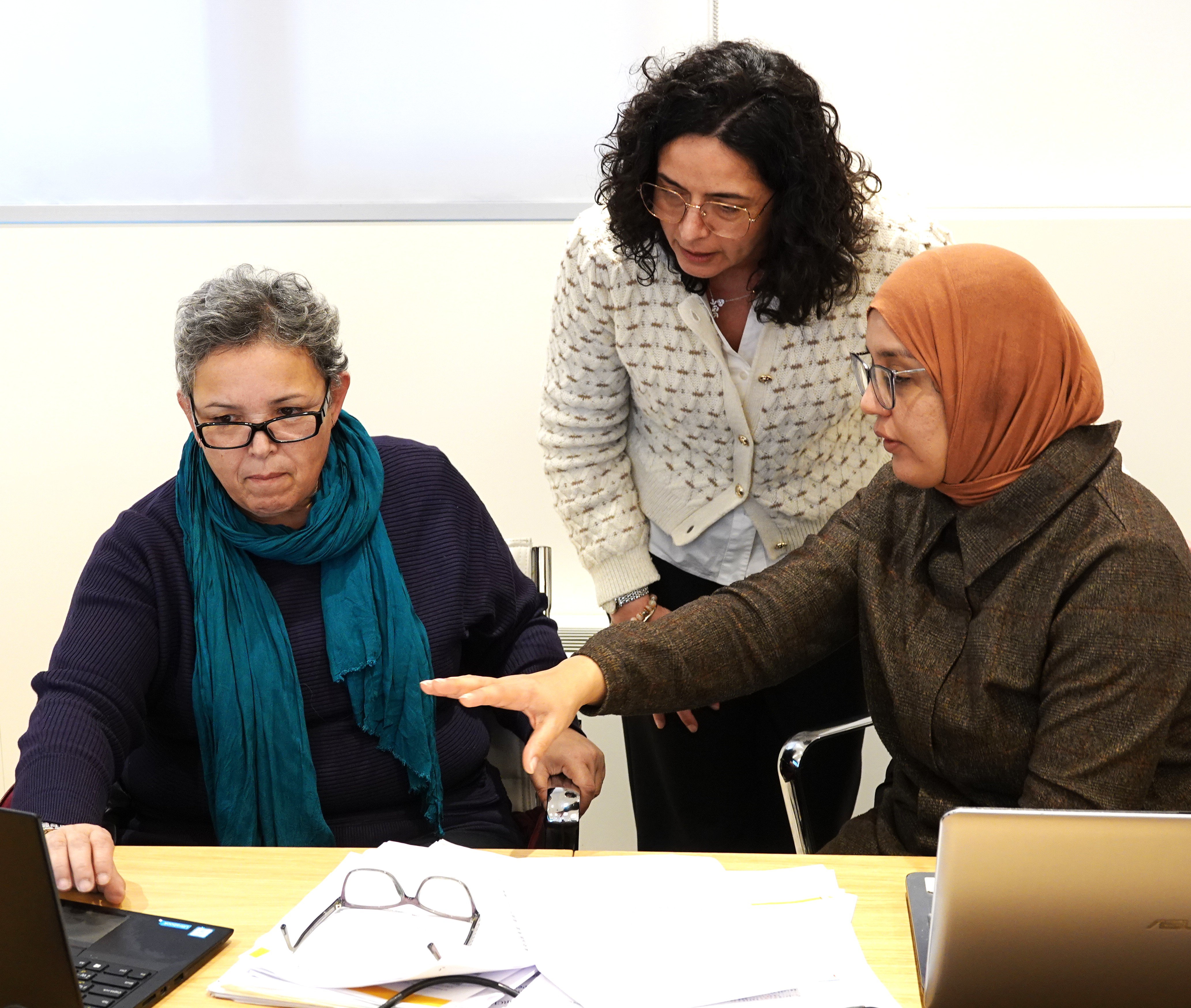
During the preparatory phase, participants strengthened core GIS competencies, including:
Sessions on querying and editing geographic data, as well as data joining and geoprocessing, allowed participants to strengthen their operational confidence in handling epidemiological datasets.
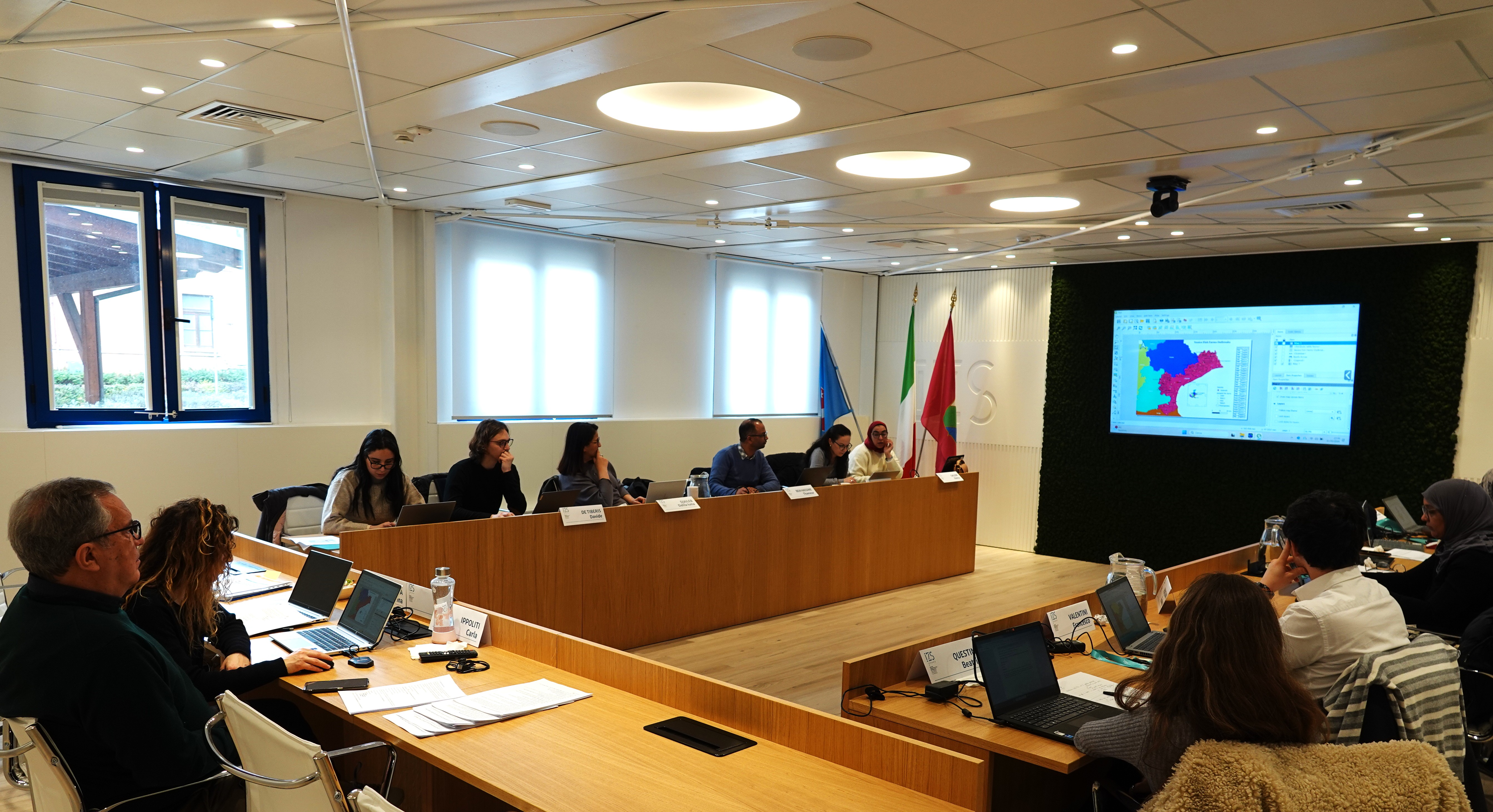
Building on these foundational skills, the final phase of the training focused on the operational use of the PROVNA platform within QGIS. Participants strengthened their competencies to:
A final summary exercise on the use of ecoregions consolidated the knowledge acquired throughout the week and demonstrated how spatial analysis can directly inform disease preparedness and response strategies.
Phase 2 of the PROVNA project will conclude in May 2026. A closing workshop is scheduled for 21–23 April 2026, where results and lessons learned will be consolidated at regional level.
Through continued collaboration between WOAH, national veterinary services and technical partners such as IZS Teramo, PROVNA2 is progressively strengthening the capacity of North African countries to translate spatial data into evidence-based action for the prevention and control of mosquito-borne diseases.