


Veterinarians in Namibia capacitated in animal disease import risk analysis to improve animal health risk management.
July 15, 2023
Read more
Geographic Information Systems (GIS) technology is a powerful tool for enhancing animal disease surveillance. By integrating spatial data with disease information, GIS supports surveillance, outbreak investigations, and targeted interventions. Veterinary services can use GIS to understand disease patterns comprehensively by merging spatial data, environmental factors, and disease information. Through spatial analysis, GIS reveals the movement and spread of diseases across regions, borders, and animal populations, aiding in predicting disease spread and designing effective containment strategies. The technology enables the visualization of disease outbreaks, facilitating early detection and swift response measures. Identifying disease hotspots allows veterinary services to allocate resources efficiently, preventing further spread. GIS helps pinpoint environmental and geographic risk factors associated with disease transmission, empowering veterinary services to implement precise preventive measures and control strategies.
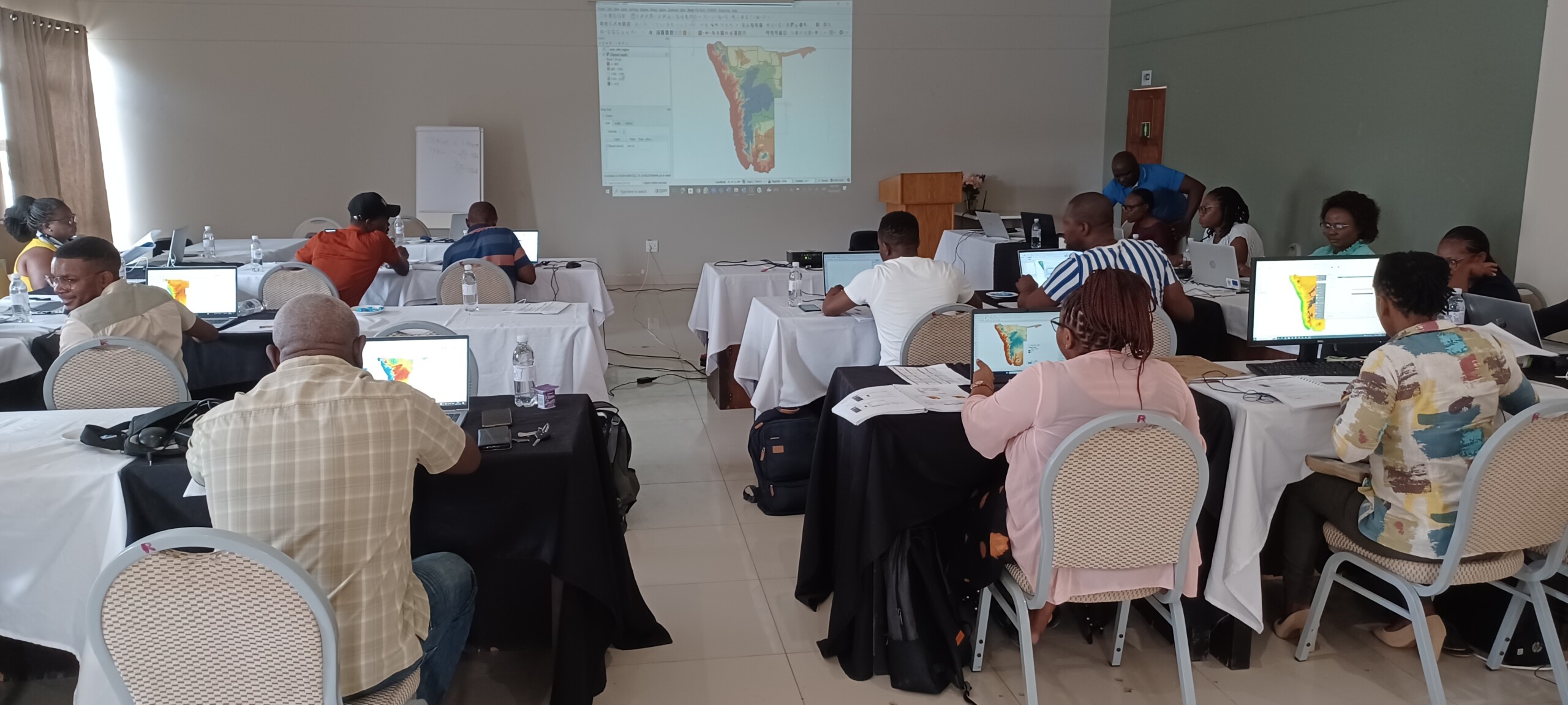
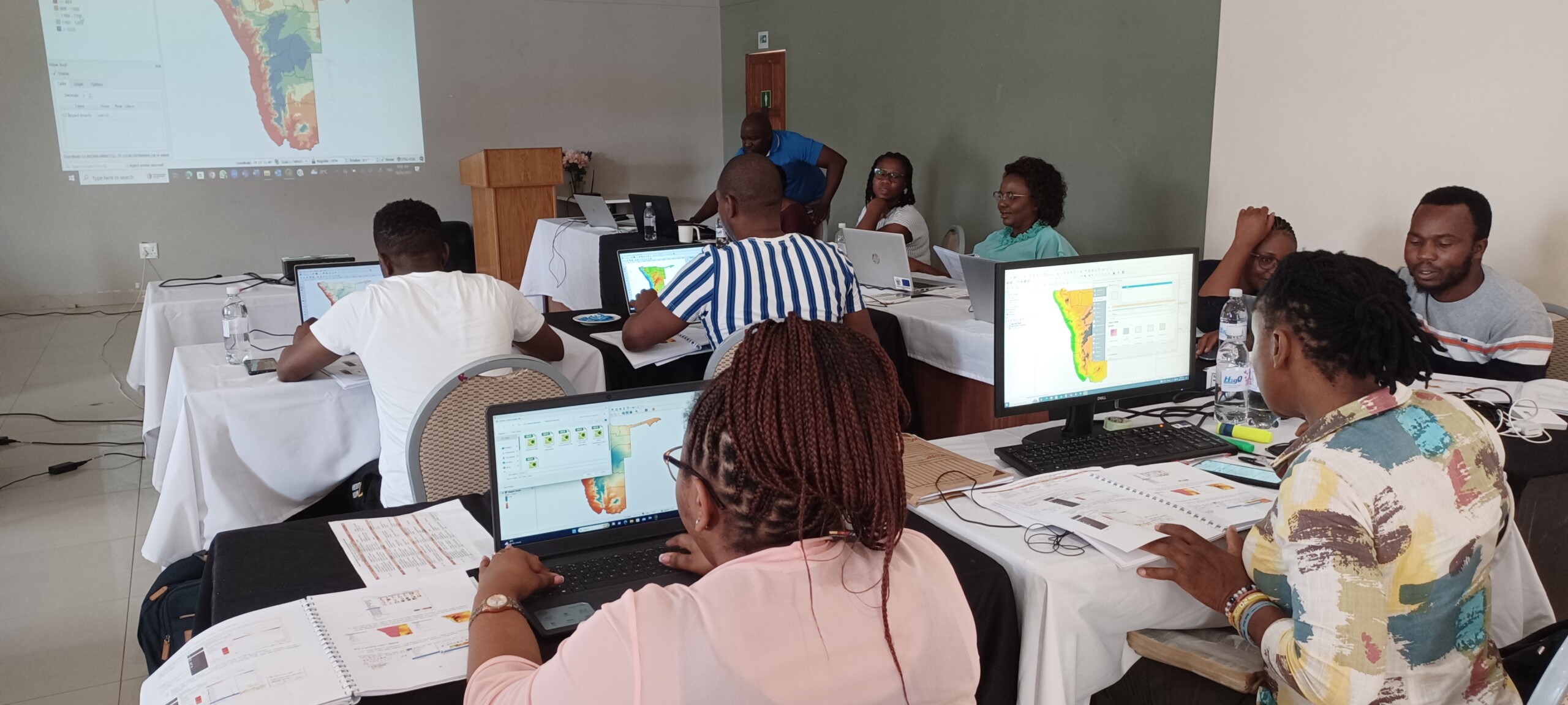
Participants practising the tool to map and visualise disease data. Picture © Tenzin Tenzin (woah) 2023
The Directorate of Veterinary Services (DVS) in Namibia underscored the importance of capacity building in GIS and disease mapping for veterinarians. This is essential for providing spatial-temporal information on the disease situation, facilitating informed decisions for efficient outbreak response and management.
A training session on GIS and Animal Health Spatial Data Analysis took place in Tsumeb, Namibia, from October 23 to 27, 2023. The training, attended by 22 veterinary staff members of the DVS, was facilitated by Dr. Tenzin Tenzin of the WOAH Sub-Regional Representation for Southern Africa, and funded by the WOAH-administered BMZ OHRT Project (Germany).
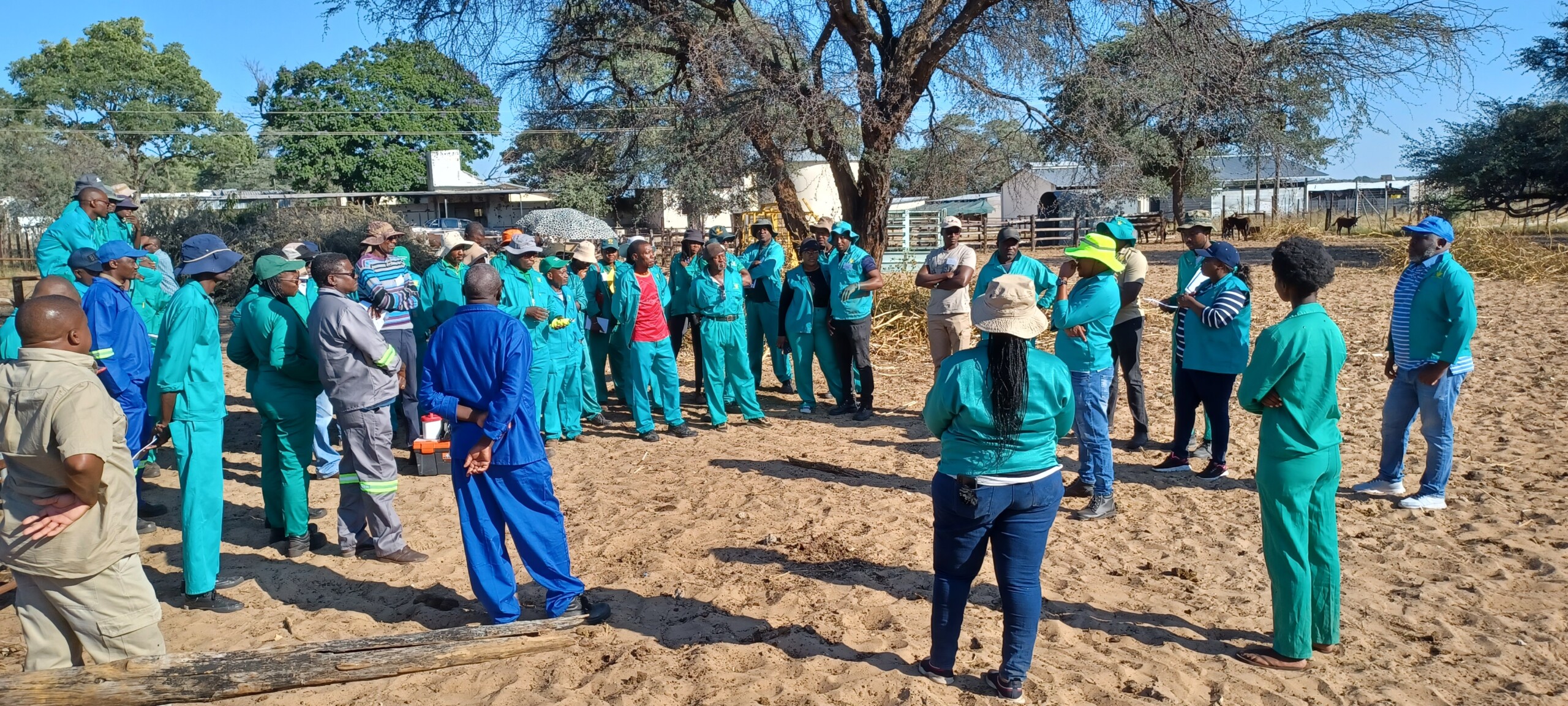
Practical exercise on collecting spatial data using mobile phone. Picture © Tenzin Tenzin (woah) 2023
Participants gained skills in using open-source software like QGIS, Google Earth, and OpenStreetMap for mapping and visualizing animal health data. The training covered spatial data collection and management, data preparation for spatial analysis, and visualisation techniques for various data types including area, point, line and raster data.
Attendees developed proficiency in GIS tools, understanding their relevance in managing animal health data. This empowered them to identify disease patterns, hotspots, and risk factors, facilitating data-driven decision-making. The participants emphasized the significance of GIS in the management of animal diseases, stating that this GIS training is long overdue for enhancing the capacity of veterinarians in Namibia.