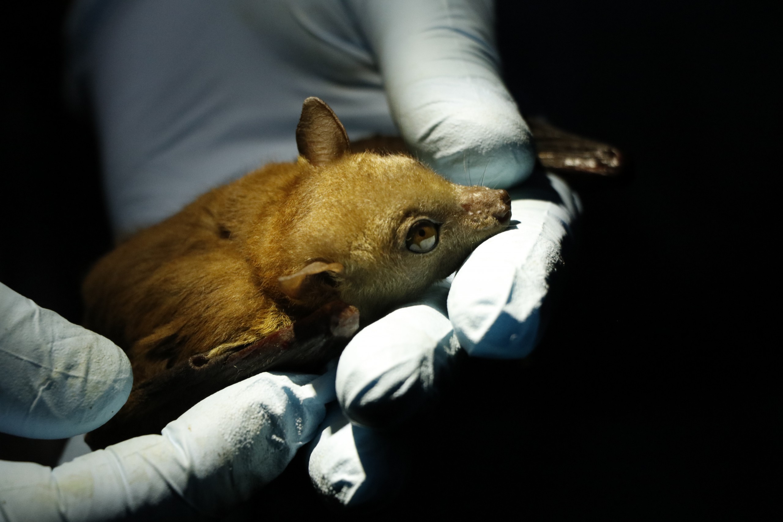
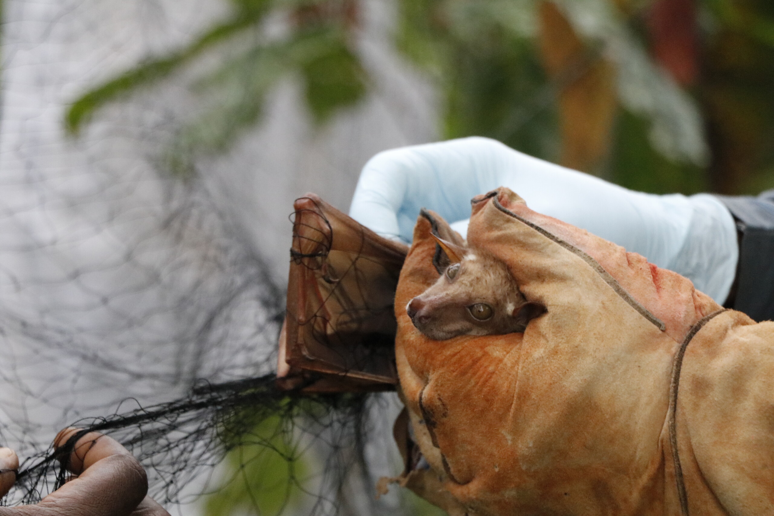
This data map shows the capture and sampling of bats, other species of wildlife, and domestic animals in West and Central Africa, including information such as species type, samples, and country location, for the purpose of supporting surveillance activities of zoonotic diseases in the region. This data is regularly updated as the project progresses.
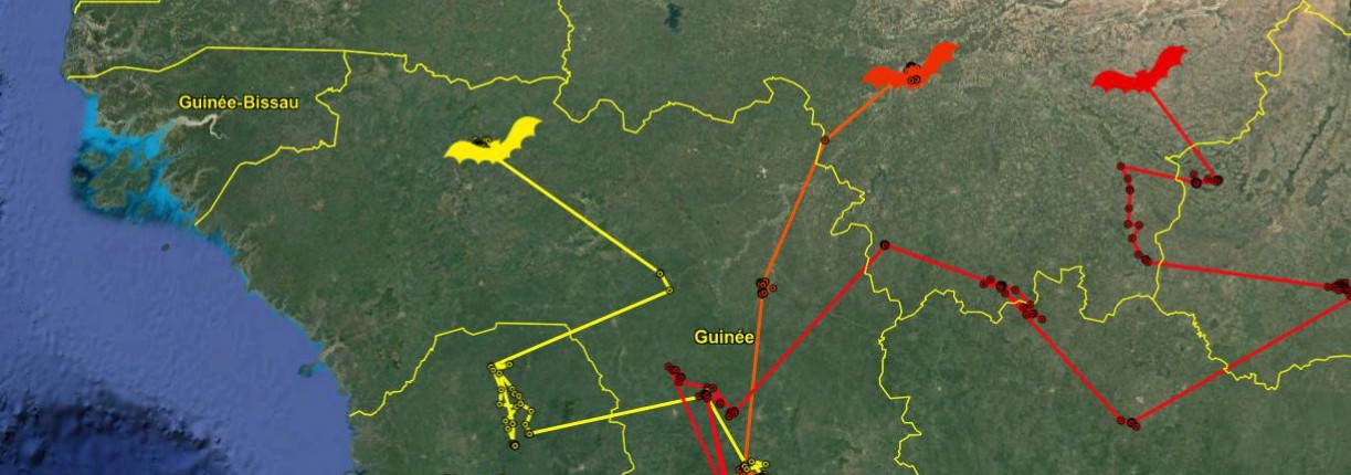
Access the mapThis map tracks the migration of bats in the Republic of the Congo over a two week period in 2020.
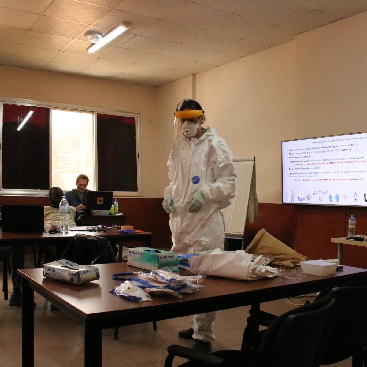
Read moreThis data map intends to support information sharing and improved learning by tracking the project’s capacity building and activities for virus surveillance in West and Central Africa. These data are regularly updated as the project progresses.
Access the mapThis portal presents the scientific investigations and capacity building activities in targeted countries since 2017 by the Consortium (WOAH, CIRAD, IRD, Institut Pasteur) of the EBO-SURSY project.
Banner Photo: ©CIRAD/J. Cappelle
Photos: ©WOAH/S.Muset